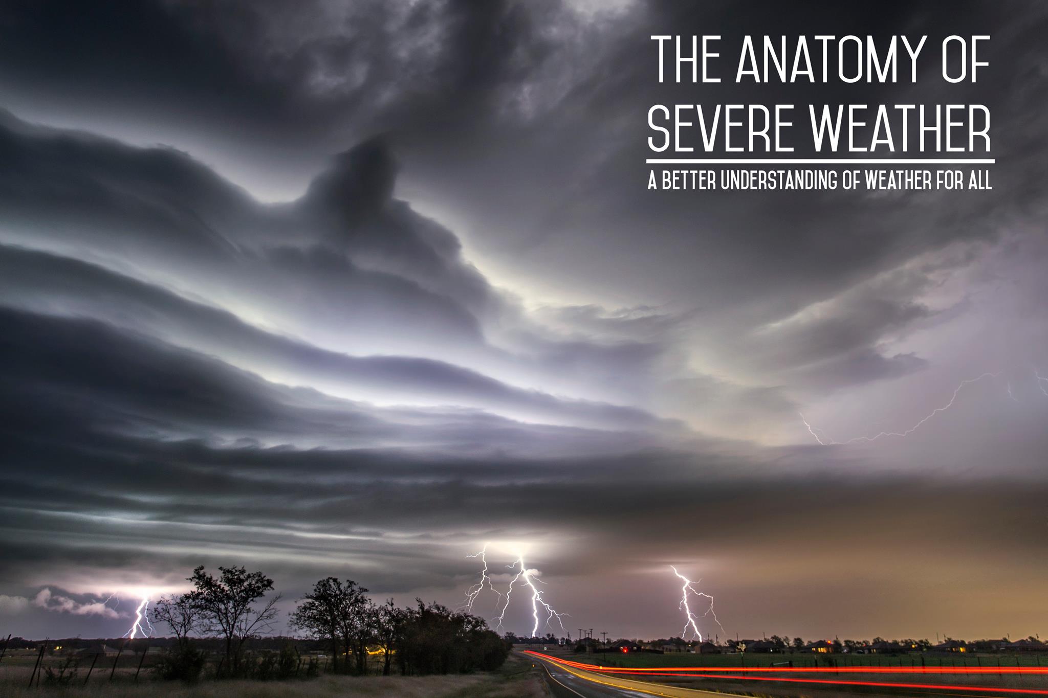
The top 10 weather photographs shared in the Mr Twister
Weather Snapshot group on September 18th 2015

#1 Mary Oblinger-Hammond (295 Likes)
Follow Mary 9/18/15. Storm front near Bloomington IL.
#2 Heath Doman (254 Likes)
Follow Heath My first lightning capture for the Australian storm season, can’t wait! Point Cartwright
#3 Ronald Kotinsky (214 Likes)
Follow Ronald Palms and Flying Saucer Clouds - Valrico - Florida
#4 Kathleen Trombley (192 Likes)
Follow Kathleen Was headed to Springfield, Missouri a few weeks ago when I saw this!
#5 Lisa Spielmaker (170 Likes)
Follow Lisa Michigan ♡
Pre-Order Your Hard Cover Today
and Get a Free DVD!
#6 Jack Corso (168 Likes)
Follow Jack Canadian, Texas replica shot from a scene in THE WIZARD OF OZ!!!! May 27, 2015.
#7 David Patterson (166 Likes)
Follow David Today near Hillsdale KS!! Now that was a good chase!!
#8 Omar Bouzid (155 Likes)
Follow Omar Algeria east 2015
#9 Matt Feilmeier (138 Likes)
Follow Matt I saw this back on July 31st in West Omaha, NE. The lines in the clouds seemed to go back to the backside of this supercell thunderstorm that was off to the NW. I don’t know if it was upper-level winds causing this formation to show up or what, but it almost looked like mammatus clouds.
#10 Marcus Hustedde (125 Likes)
Follow Marcus Selden, KS 6-4-15….I have shared a lot of shots from this day but there are just so many to go through that I feel should be shared so here is another one…nice organizing LP supercell with a “bolt from the blue”…this phenomenon is exactly what I am researching for my masters thesis.
Rising Stars
Colin Bryant
Woodward; Oklahoma. 8th may 2013

Sven Swalef
Massive Shelfcloud taking over the outskirts of the city of Spijkenise, Intens wind and hail accompanied by this beast!!!

Carina Lichtenberg
2 days ago. I couldn’t believe that is was the sky. Unreal beautiful. Netherlands

Steven Wesselink
Early morning MCS The Netherlands

Megan Terry
Times like this I wish for a nice camera Taken in southern MN 9-15-15 with my cell phone

Congrats Everyone!

Zach Roberts
Owner/Storm Chaser/Photographer at Mr Twister
Hello and welcome my fellow photography and weather enthusiasts! I hope you enjoy my website and my photography. Nothing else in the world compares to seeing the beauty of mother nature in person, and I truly enjoying sharing my passion with you.
Latest posts by Zach Roberts (see all)
Related posts:
Top 10 Weather Photographs: 4/6/2014
Top 10 Weather Photographs: 10/16/2014
Top 10 Weather Photographs: 4/22/2014 "Kansas Shelf Cloud For the Ages"
Top 10 Weather Photographs: 6/24/2015 "South Dakota Tornado is a Beauty"