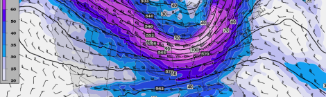
Severe Weather Potential This Coming Weekend
A severe weather threat looks to be taking shape this weekend for parts of the Mississippi and Ohio Valley. A potent trough will reside over the area outlined below on […]

A severe weather threat looks to be taking shape this weekend for parts of the Mississippi and Ohio Valley. A potent trough will reside over the area outlined below on […]

Around 10/1 I began to monitor what looked to be a strong fall storm system that would impact the central plains some time around October 4th. The system looked really […]

2014 Extreme Weather Calendar Order today! $15.99 + Tax for 15 High Resolution Images Free Shipping Within the Continental United States BUY NOW VIA PAYPAL! or To purchase by check […]
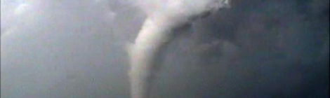
Wow…what an adventure this was. I had been monitoring the potential for a tornado outbreak in South Central NE/Northern Kansas for a few days, and made the decision early on […]
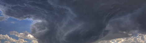
Storm chaser frustration was mounting. The storm season continued to limp along at this point. Another modest chase set up presented itself on the models. Many ingredients were missing as […]
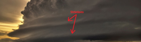
*Striations* - Grooves or channels in cloud formations, arranged parallel to the flow of air and therefore depicting the airflow relative to the parent cloud. Striations often reveal the presence […]
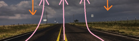
The cap or capping inversion is a layer of relatively warm air aloft (Typically several thousand feet above the ground) which suppresses or delays the development of thunderstorms. Air parcels […]

It seems that mother nature is playing some cruel tricks to begin the storm chase season this year. After a slow March (zero chases) and a slow start to April […]
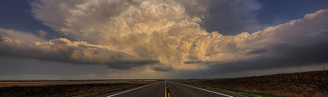
Hopes were high for what looked like a potential significant severe weather event sometime around the 10th of April. Not only did the storm system look significant, I had yet […]
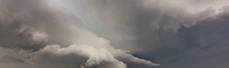
Since making a beneficial career move recently I have had several people ask me why don’t I chase storms full time. I have also received this same question many times […]

