Storm Prediction Center
The Storm Prediction Center (SPC) is part of the National Weather Service (NWS) and the National Centers for Environmental Prediction (NCEP). Here is their mission statement: Our mission is to provide timely and accurate forecasts and watches for severe thunderstorms and tornadoes over the contiguous United States. The SPC also monitors heavy rain, heavy snow, and fire weather events across the U.S. and issues specific products for those hazards. We use the most advanced technology and scientific methods available to achieve this goal. The STorm Prediction Center is a vital resource for storm chasers but is not the only tool you should use. The ability to create your own forecast is very beneficial as the SPC focuses on large scale threats and highly populated areas. For storm chasing, meso-scale, now casting and local influences are all topics that the SPC does not cover in depth.
Day 1 Tornado Outlook
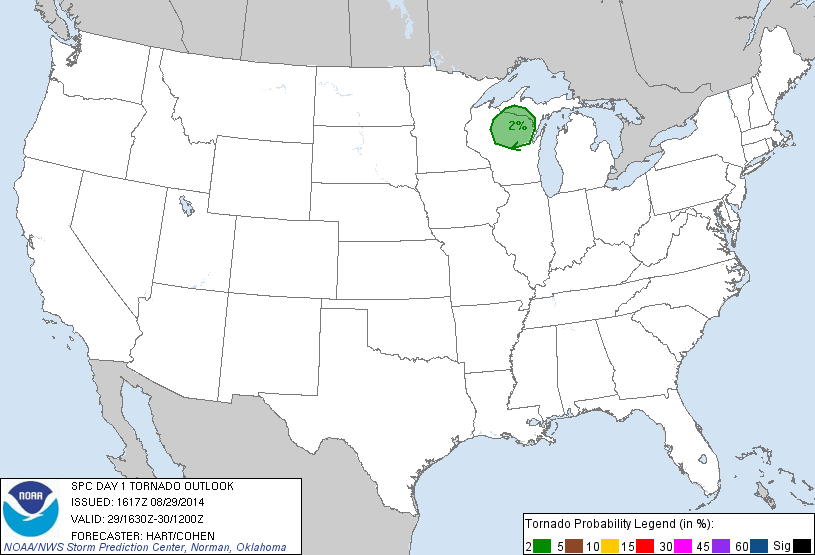
Day 1 Hail Outlook
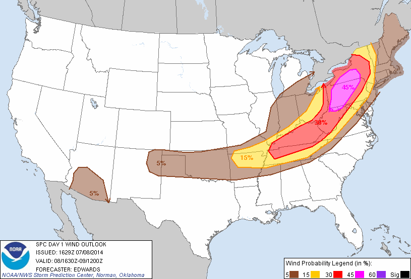
Day 1 Wind Outlook
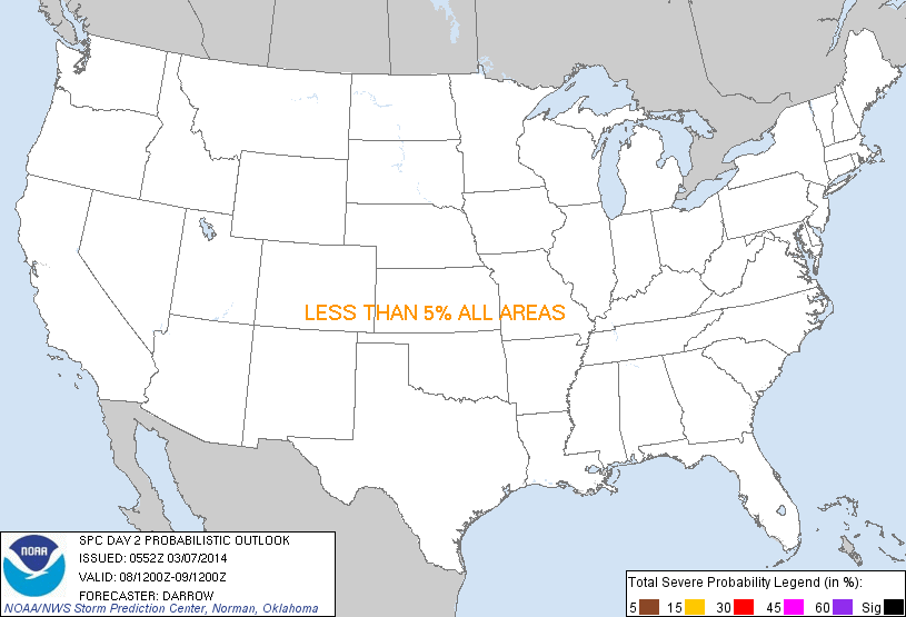
Day 2 Storm Outlook
Twister Data
Weather models are a huge part of a storm chasers pre-chase routine. Weather models provide computer generated forecasts for thousands of parameters, locations and dates. Detail on each one of these models is beyond the scope of this website, but we will cover the most important and useful ones. The three primary used synoptic forecast models are the North American Mesoscale Model or NAM, the Global Forecast System or GFS, and the Euro or European model. These models are available on hundreds of websites. One of the easiest to navigate and utilize is Twister Data (The Euro is not available on Twister Data). Generally speaking a storm chaser will first look at the GFS model to see long term (5-30 day) trends for storm systems moving across the United States. The NAM covers shorter term trends 0-84 hours. It is important to remember that these are only models and not guaranteed. It is also possible to use a mix of these models as the GFS also covers short term trends.
North American Mesoscale Model

Global Forecast System


