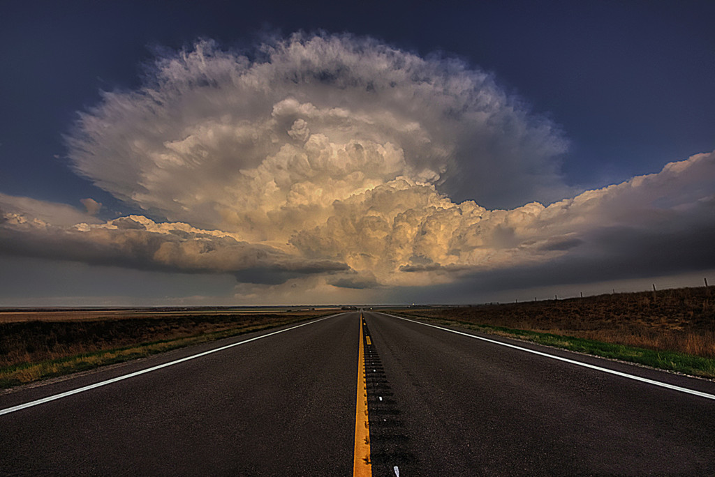
Tornadoes and severe wind will likely cut a swath across the Mississippi valley on Saturday as a strong storm system moves across portions of the United States. The severe weather could kick off this evening as storms have already begun to fire in East Texas. These storms will move NE into portions of NW Louisiana and SW Arkansas. An isolated tornado or two is not out of the question with these storms but the more dangerous scenario will play out on Saturday afternoon and evening as many will be busy shopping for the coming Christmas holiday.

Tornado threat for Saturday 12/21.
Isolated supercells will form ahead of a cold front starting in NE Louisiana on Saturday afternoon and likely become tornadic quickly. These storms will race to the NE into portions of Arkansas, Mississippi and Tennessee. The lower level wind dynamics are in place for some of these tornadoes to be strong with a rating of EF-2 or greater. Major cities that will be included in the highest risk area are Shreveport LA, Alexandria LA, Jackson MS, Greenville MS, Memphis TN, Jackson TN and Nashville TN. Surrounding this area will be several states that while not in the main threat will likely see several tornadoes as well. These states include Kentucky, Illinois, Indian and Ohio.

Damaging wind threat for 12/21
A good portion of these areas will then be impacted by a second round of storms that will be more linear in nature. The main threat with this round of storms will be extreme damaging wind gusts although isolated weaker tornadoes will also be possible in this line of storms. Both rounds of storms will be moving very fast and will continue late into the evening. This is a very serious situation and if you live in these areas you must stay tuned to local media and have your emergency action plan in place.

Winter Storm Saturday 12/21
Tornadoes and severe wind will not be the only threat with this system. An ice storm, with significant power outages is likely in the Oklahoma City metro area and winter storm watches are in place from Oklahoma to Wisconsin.
I will be tracking the system all day Saturday and providing updates on Facebook and Twitter. This is not an official forecast and should not replace any outlooks from the NWS or your local media.

Zach Roberts
Latest posts by Zach Roberts (see all)
- Top 10 Weather Photographs: 7/21/2014 - July 21, 2014
- Top 10 Weather Photographs: 7/20/2014 - July 20, 2014
- Top 10 Weather Photographs: 7/19/2014 - July 19, 2014
Related posts:
Comments