Archive for April 2013

Weather Education: Wall Cloud |Striations |MesoCyclone

8196101137_0638bff9c7_b (2l) (2)


*Striations* - Grooves or channels in cloud formations, arranged parallel to the flow of air and therefore depicting the airflow relative to the parent cloud. Striations often reveal the presence of rotation, as in the barber pole or “corkscrew” effect often observed with the rotating updraft of […]

Read more

Weather Education: What is the Cap?

8218233177_a00c6bf400_b (2)d


The cap or capping inversion is a layer of relatively warm air aloft (Typically several thousand feet above the ground) which suppresses or delays the development of thunderstorms. Air parcels (Pink arrow) rising into this layer become cooler than the surrounding air, which inhibits their ability to […]

Read more

Storm Chase Log: “High Expectations-Big Frustrations” 4/15-4/18/13 1763 Miles

005_6_7_tonemapped


It seems that mother nature is playing some cruel tricks to begin the storm chase season this year. After a slow March (zero chases) and a slow start to April (1 chase), my second storm chase was lining up quite nicely a few days prior to the […]

Read more

Storm Chase Log: “Saved by Great Bend” 4/7-4/9/13 1680 Miles

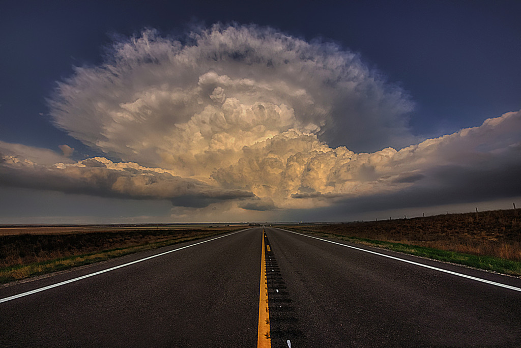
A beautiful supercell rockets towards the sky West of Great Bend Kansas. April 2013


Hopes were high for what looked like a potential significant severe weather event sometime around the 10th of April. Not only did the storm system look significant, I had yet to kick off my chase season and I was chopping at the bit. Models were showing a […]

Read more

Like It

Like It

Twitter

Subscribe To It

Join 549 other subscribers