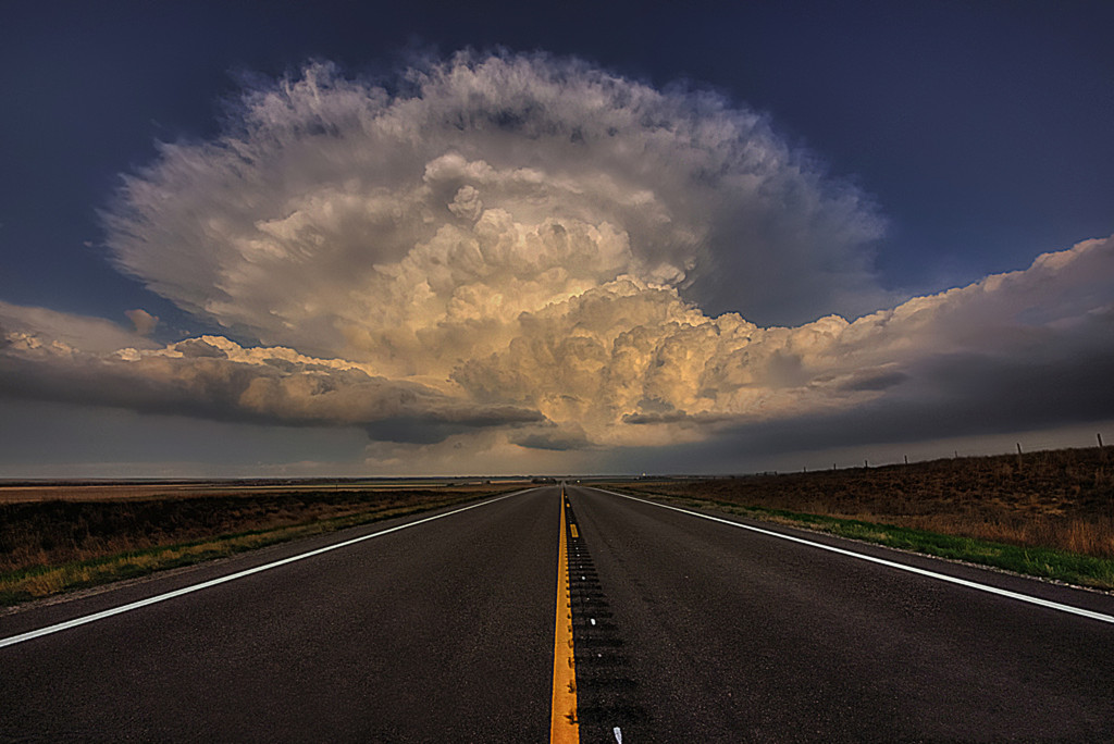
While not every day will see the same degree of severe weather, over the next several days we can expect to see recurring chances for all modes of severe weather across Tornado Alley.
Taking a look at the expected 500 millibar pattern (GFS, 12 z 5/19) beginning Friday 5/20, the two most important features are the large trough (solid line) moving into the western United States and the longwave ridge (jagged line) centered over the central portions of the country. The trough will slowly move east, with smaller shortwaves ejecting eastward ahead of it through the week. These smaller waves will be the focus for several rounds of active weather.

Friday, moisture begins to return to the Southern Plains in the wake of a departing storm system that brought unusually cool conditions to Tornado Alley earlier this week. With increasing moisture and temperatures rebounding ahead of the next storm system, an isolated severe storm is possible somewhere in the vicinity of the Texas and Oklahoma Panhandles. As the above graphic indicates, weak 500 mb flow (and not shown, but generally weak flow at all levels) as well as a significant capping inversion (shown below) will tend to limit severe coverage on Friday. One or two isolated storms could pose a threat for severe weather, but overall Friday should be mostly quiet.

By Saturday (5-21), moisture in the boundary layer (near the surface) further increases, lessening the effects of the capping inversion that will still be in place. Particularly across the high plains where orographic effects will enhance lift, isolated severe storms will be possible. A few of these storms could produce brief tornadoes, large hail, and high winds to severe criteria. While atmospheric flow becomes a little stronger at all levels on Saturday, these remain mostly weak, limiting the shear and subsequent severe potential. Saturday should see more storms than Friday, but not great numbers.
Below is the NAM output for dew points Friday and then Saturday.


Sunday, dew points in the 60s will penetrate northward as far north as the Dakotas. Under steep mid-level lapse rates, sharp veering of the winds (clockwise turn with height) in the low levels, and strengthening flow aloft, significant severe weather will impact much of Plains from Texas northward into portions of theDakotas. While details are yet to be ironed out, below is the GFS output for 0-3 KM EHI (Energy-Helicity Index) values. Generally, numbers over 2 are conducive for significant severe storms. The best chance for significant tornadoes in this area currently appears to be in the circled area, though this will certainly change and (hopefully) become clearer as Sunday approaches. 
Monday, while a trough remains anchored on the west coast, a robust shortwave is expected to be making its way across the Northern Plains, bringing increased mid and upper level flow, as well as shunting the severe threat south and east as a dry line moves through and into western portions of the Central Plains and Upper Midwest. Below are the forecasted (GFS) dew points with the front drawn. The image is valid for 7 PM CST , so areas west of the drawn dry line could see active weather before this time. It should also be noted that the ECMWF (European model) is a bit slower than the GFS though model agreement on severe weather is quite high given the range. Ahead of the front, very deep moisture characterized by dew points into the 70s F, adequate wind shear, and lift provided by the approach front will result in scattered to widespread severe storms. All modes of severe weather will be possible from central Texas northward into the Midwest, with the highest tornado threat currently expected in the circled area.

Beyond Monday (Day 5), models continue to agree on an active last half of May, though specifics on location become harder to define. Differing from previous storms this year, the lead stronger shortwave (seen causing lower pressure across Canada in the image above) is expected to lift north and east instead of moving east or southeast. This is expected to retain the deep boundary layer moisture across much of Tornado Alley, as opposed to pushing it down into the Gulf of Mexico. This could lead to near daily severe weather threats across Tornado Alley not only through day 5 as described above, but potentially beyond into the day 5-10 range as well. While this pattern is not unusual for the time of year, a multi-day (week?) event has become somewhat uncommon in recent years and as such those in Tornado Alley should review their severe weather plans in preparation of the upcoming very active period.

Logan Poole
Latest posts by Logan Poole (see all)
- Active Severe Weather Pattern To Move Into Tornado Alley Beginning 5-20-16 - May 19, 2016
- Storm Chase Point of View: Severe Weather Wednesday April 8th 2015 - April 6, 2015
- Out in the Elements: Military Sniper - March 16, 2015