
A very dangerous weather situation will ramp up over the next several hours as potent storm system enters the Great Lakes and Ohio Valley. Thunderstorms will begin to form this morning over parts of Iowa and Missouri. These storms will strengthen rapidly into supercells capable of large hail, damaging wind and strong long lived tornadoes. Many highly populated areas in Illinois (including Chicago), Indiana, Michigan and Ohio will be under the gun. The storm prediction center has issued a rare High Risk for this event. Please take this seriously if you live in any of the areas outlined below. Two rare Particularly Dangerous Situation tornado watches have also been issued by the National Weather Service.. These watches are typically reserved for tornado threats to large cities such as today.
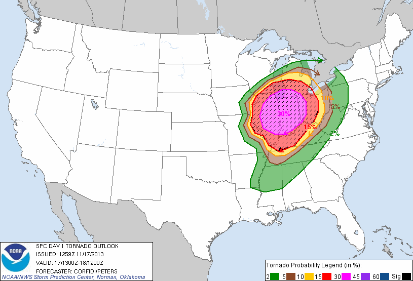
Storm Prediction Center Tornado Threat Area
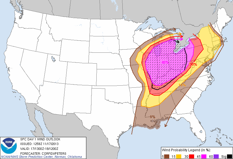
Storm Prediction Center Wind Threat Area for Sunday 11/17
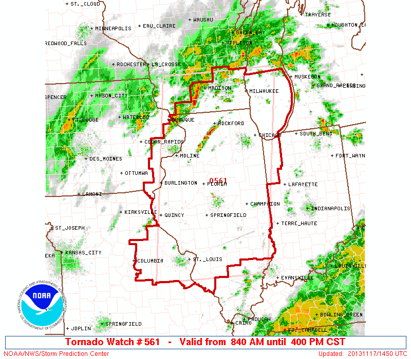
PDS tornado watch issued by the NWS.
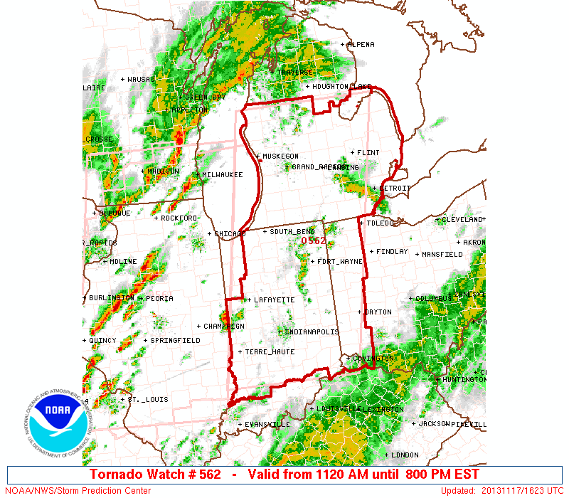
PDS tornado watch issued by the NWS
Zach Robert
Owner Mr Twister

Related articles
- Storm Prediction Center - High Risk just issued - Most of Indiana, Eastern Illinois (lunaticoutpost.com)
- Storm Prediction Center Make A MAJOR Expansion To The Severe Weather Risk This Weekend… It Does Affect Our Area! (fox41blogs.typepad.com)
- Powerful Midwest storm threatens tornadoes (usnews.nbcnews.com)


Pingback: Tornadoes rake the Upper Mid West | Mr Twister