
Tornadoes are hard to come by and often times not the main attraction on a storm chase. Storm structure is one of the most amazing spectacles of mother nature. From the very start as a small cumulus cloud to the massive anvil of a super cell. No two storms are alike and each one brings a unique photography opportunity. Classic, Low precipitation, high precipitation, squall lines, bow echos and everything in between can be found on this page. All photographs by Zach Roberts.

A severe thunderstorm moves over the desert landscape of Pueblo West Colorado. June 2013

3 updrafts from a severe storm back lit by the setting sun in Kansas. May 2012

A severe warned supercell with intense straight line winds near Great Bend Kansas. April 2013

The backside of a massive hail producing supercell is lit up by the sunset in Texas. May 2012

A massive tornado warned storm intensifies near Grant Nebraska. June 2013

The initial stages of what would become a tornado producing storm in Texas. October 2012
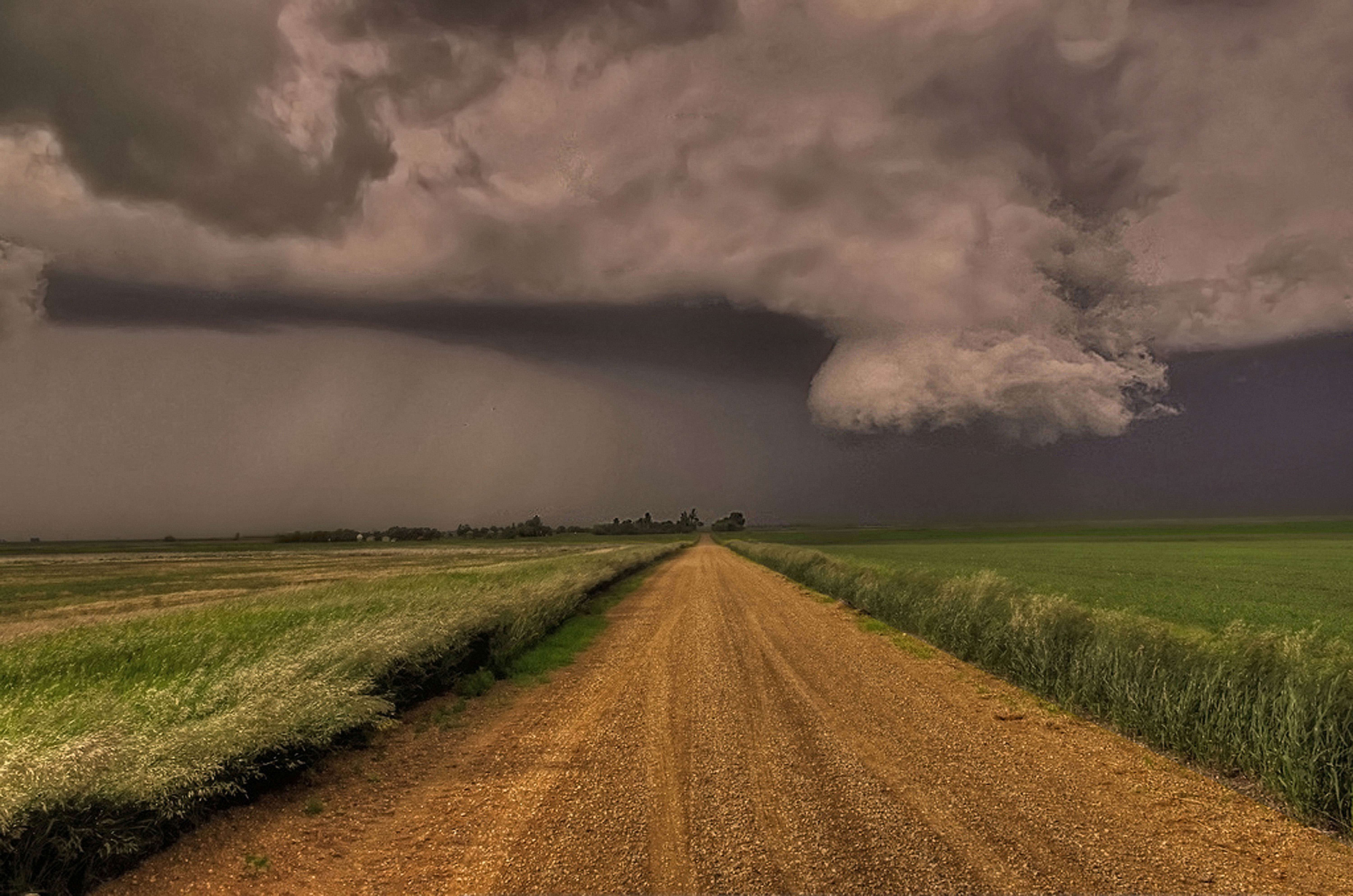
A wall cloud hangs ominously near Moose Jaw Canada.

A beautiful supercell thunderstorm spins over the plains of Oklahoma. March 2012

A severe storm as the sunsets over NW Kansas. April 2012

A supercell thunderstorm is lit up by the sun just prior to producing a tornado in Oklahoma. March 2012

A severe warned super cell explodes East of Pueblo Colorado. July 2012
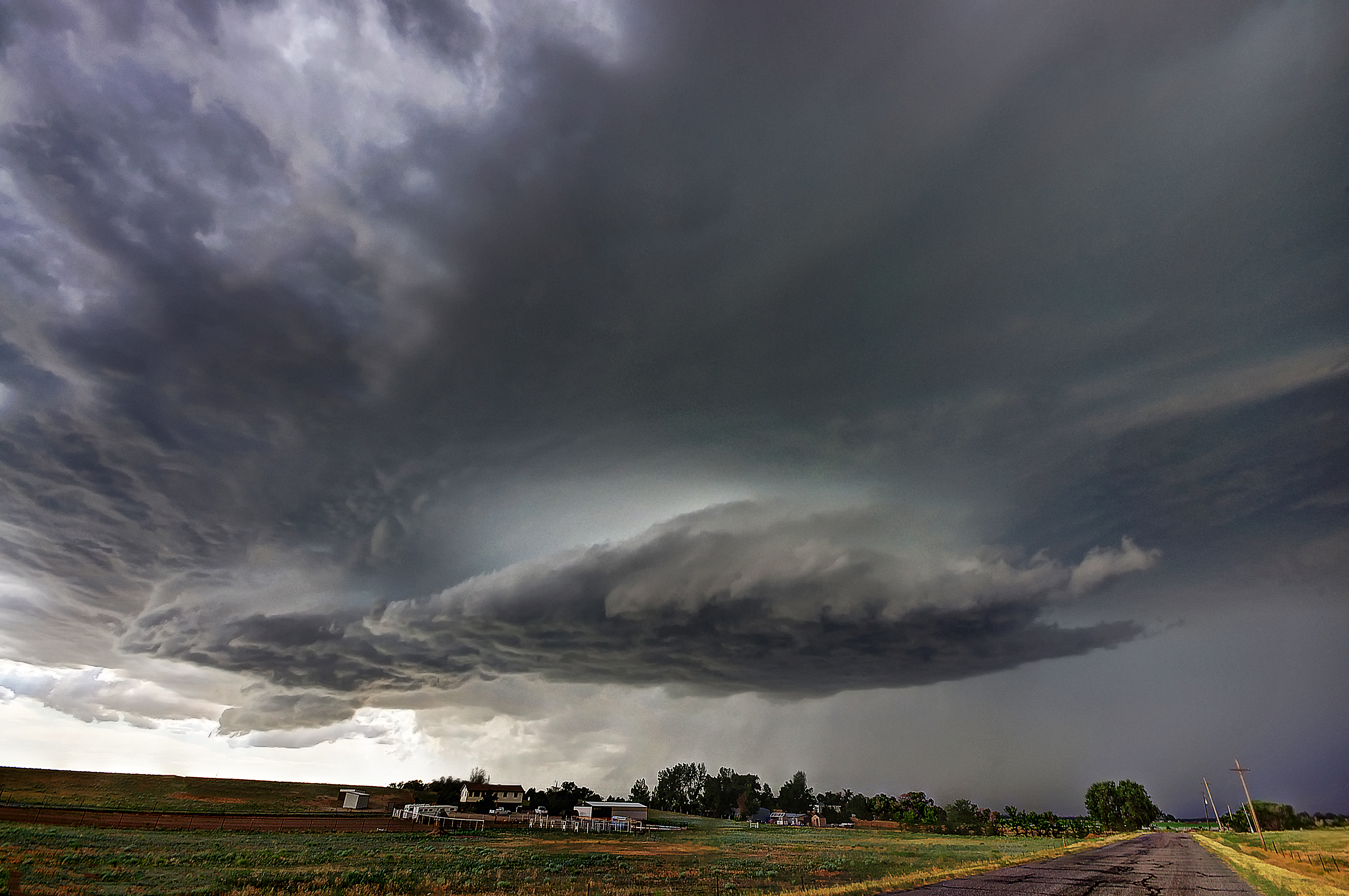
A supercell hovers over a farmstead near Brush Colorado. June 2013

A massive tornado warned storm spins near Cold Water Kansas. May 2013

A massive supercell intensifies near Great Bend Kansas. April 2012

A massive and violent squall line moves across the Prairie North of Regina Canada. June 2012

A beautiful sunset with Crepuscular rays over a line of thunderstorms near Hays Kansas.

A massive wall cloud descends from a storm near Elizabeth Colorado. June 2012


