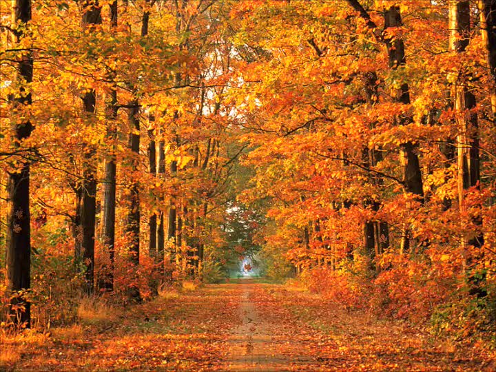
Leaves are changing..
..tornadoes are coming???
by Judy Graphenteen
Leaves are changing..
..tornadoes are coming???
by Judy Graphenteen

While spring is by far the most active time of the year for severe weather and tornadoes, there is a second severe weather season that develops in the fall.
Most often, this second severe weather season spans late October into early November, affecting the South Central and southeastern U.S. However, severe events can also periodically affect areas farther north as well.
The driver for this second season is the jet stream, an area of strong winds high above the ground that divides cold air to its north from warm, moist air to its south.
The jet stream acts to support strong upward development of thunderstorms and also creates wind shear, a necessary ingredient for severe thunderstorm development.
Wind shear is a change in wind speed and/or direction with height above the ground. When winds change direction with height, they can cause thunderstorms to rotate and produce tornadoes.
In the fall, the jet stream starts to become stronger as temperature differences across the United States become greater. This happens as cold air from Canada starts to spread southward into the northern tier of the U.S. and clashes with warm, relatively humid air still in place across the southern tier.
The result is the development of severe thunderstorm and tornado outbreaks.
The greater numbers of tornadoes and outbreaks in spring than in the fall "second season" is interesting. Part of this has to do with the calendar. The spring tornado peak is closer to the June 21 summer solstice, marking the longest day of the year and, hence, most daytime heating to bolster instability. By contrast, October and November are closer to the winter solstice (December 22) and have shorter days and less daytime heating.
Another part of the difference is the accumulative effect of spring and summer heating on air temperatures aloft. By fall, the long spring and summer period have warmed up the low levels and allowed some of the heat to be transferred aloft. Thus, temperatures in fall aloft (around 10,000 feet) are typically warmer than in spring (following the long winter cool-down). Warmer temperatures aloft reduce instability and, thus, potential for severe thunderstorms.
But as the cool season begins to set in and the jet stream begins to make stronger incursions into the southern United States, enough cold air aloft can combine with warm, moist air at low levels to spawn the occasional major tornado outbreak. Most of the time, the second-season tornado outbreaks are in the Gulf Coast states, but they can sometimes spread north to the Ohio Valley.